A super detailed Way & Works Branch map of the Victorian Rail Network as it stood in 1934. This version lists every station on the outer edge with the corresponding grid reference for easier navigation. We also have a 1937 map-only version available in the store.
Post war optimistim additions to the network, particularly in the wheat growing areas in the north west and west, saw this map explode into hundreds of stations and tens of lines that do not exist today. One of the most interesting features of the map is that it displays each station’s distance in miles from the centre of Melbourne. For northern lines, the distance is measured from Spencer Street Station whereas for southern lines this is calculated from Flinders Street Station.
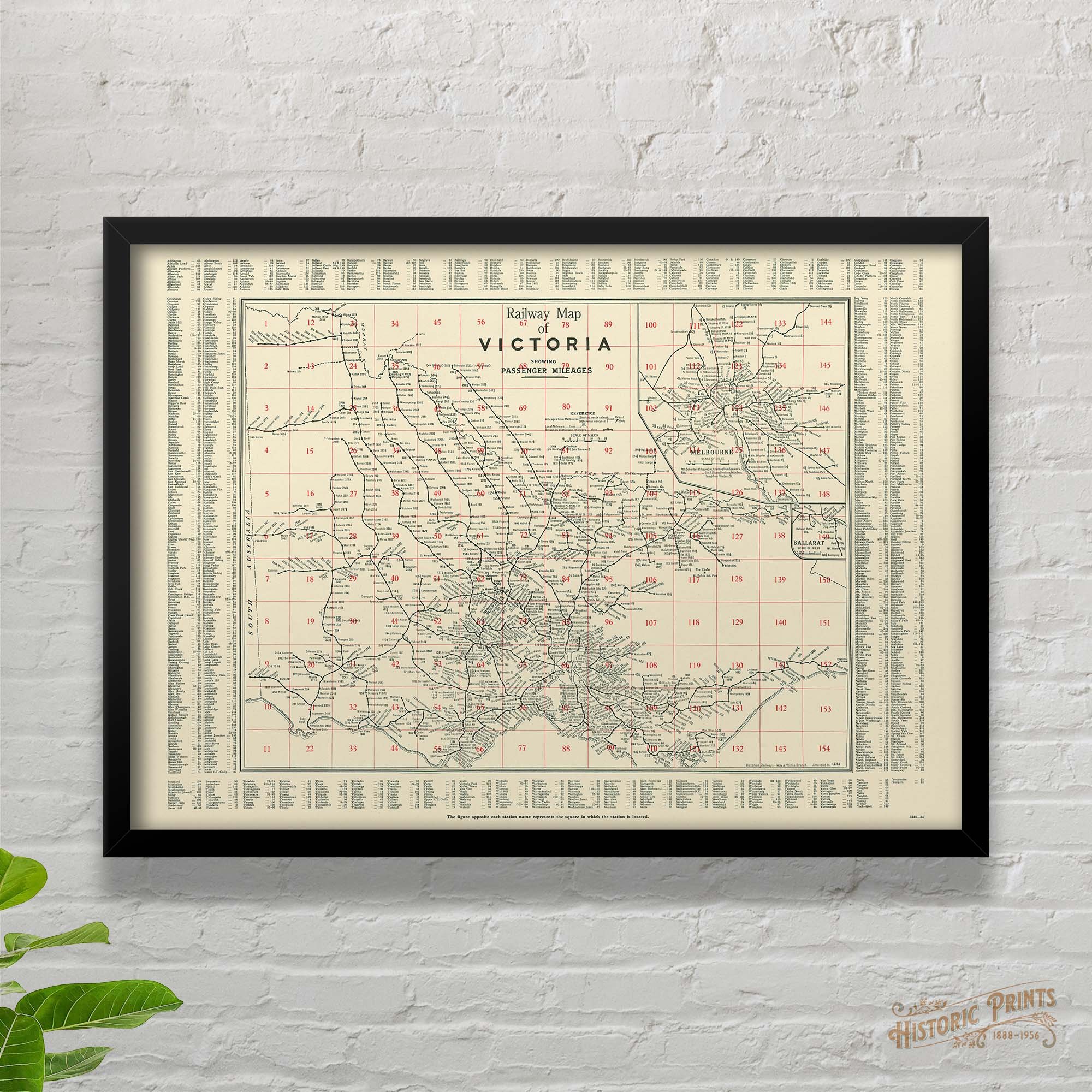 Image 1 of 10
 Image 2 of 10
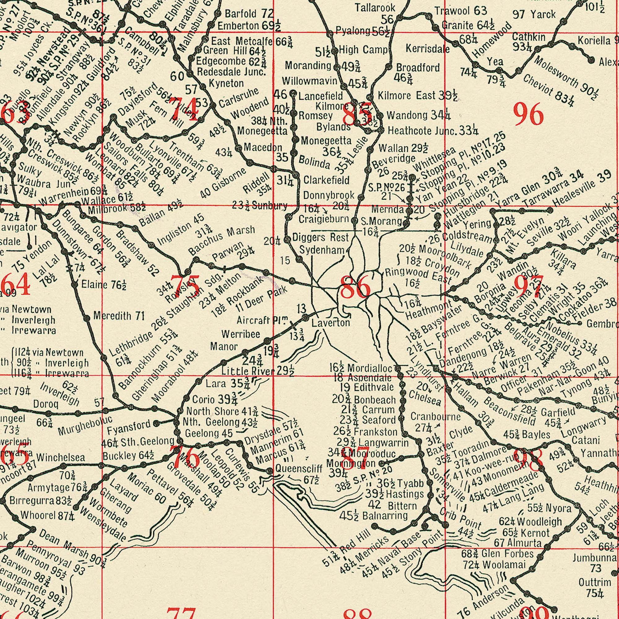 Image 3 of 10
 Image 4 of 10
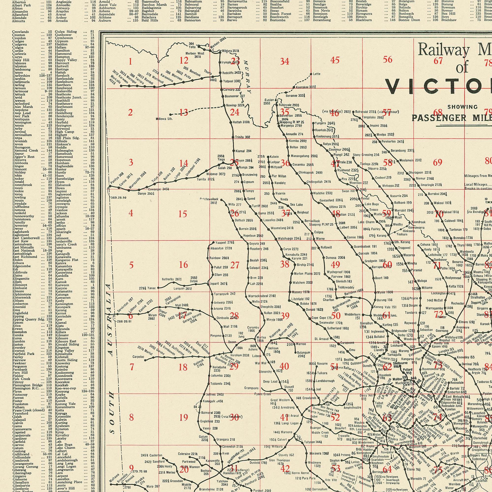 Image 5 of 10
 Image 6 of 10
 Image 7 of 10
 Image 8 of 10
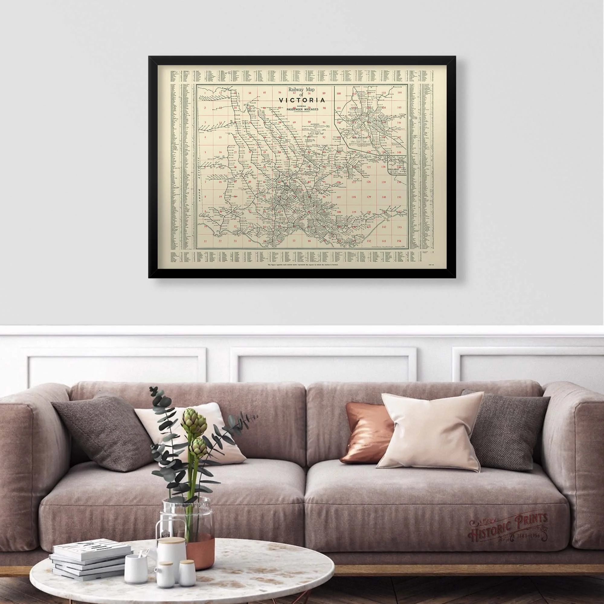 Image 9 of 10
 Image 10 of 10