Railway and Tramway Map of Melbourne and Suburbs 1923 - Framed A1 Print
A superb restoration and reproduction of the original railway and tramway map of Melbourne and suburbs during the early 1920s boom period. It shows railways, cable tramways, electric tramways, authorised electric additions plus some hand updated 1 mile distance radius circles and an unlisted tram route added in. The red rings and tea advertising are what drew us into restoring this classic antique gem.
The original map is published by Drawn by Gawler and Drummond Architects.
 Image 1 of 6
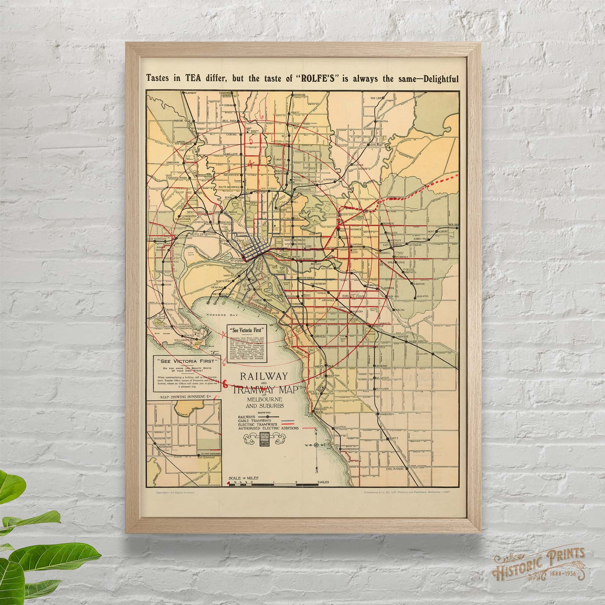 Image 2 of 6
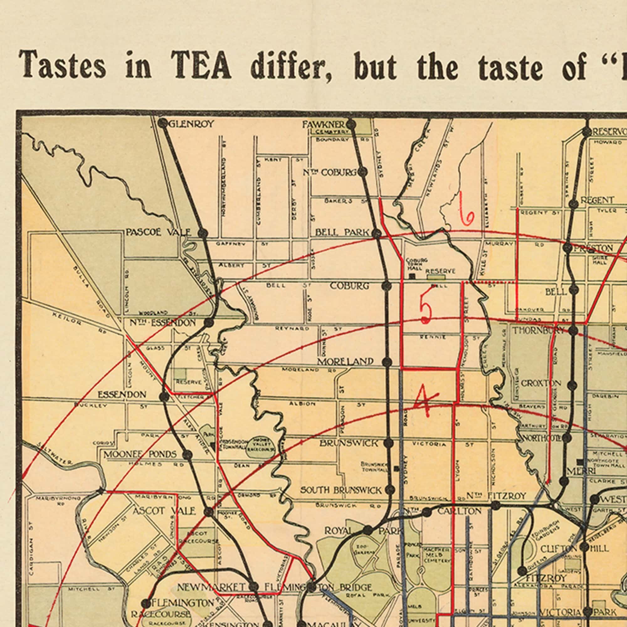 Image 3 of 6
 Image 4 of 6
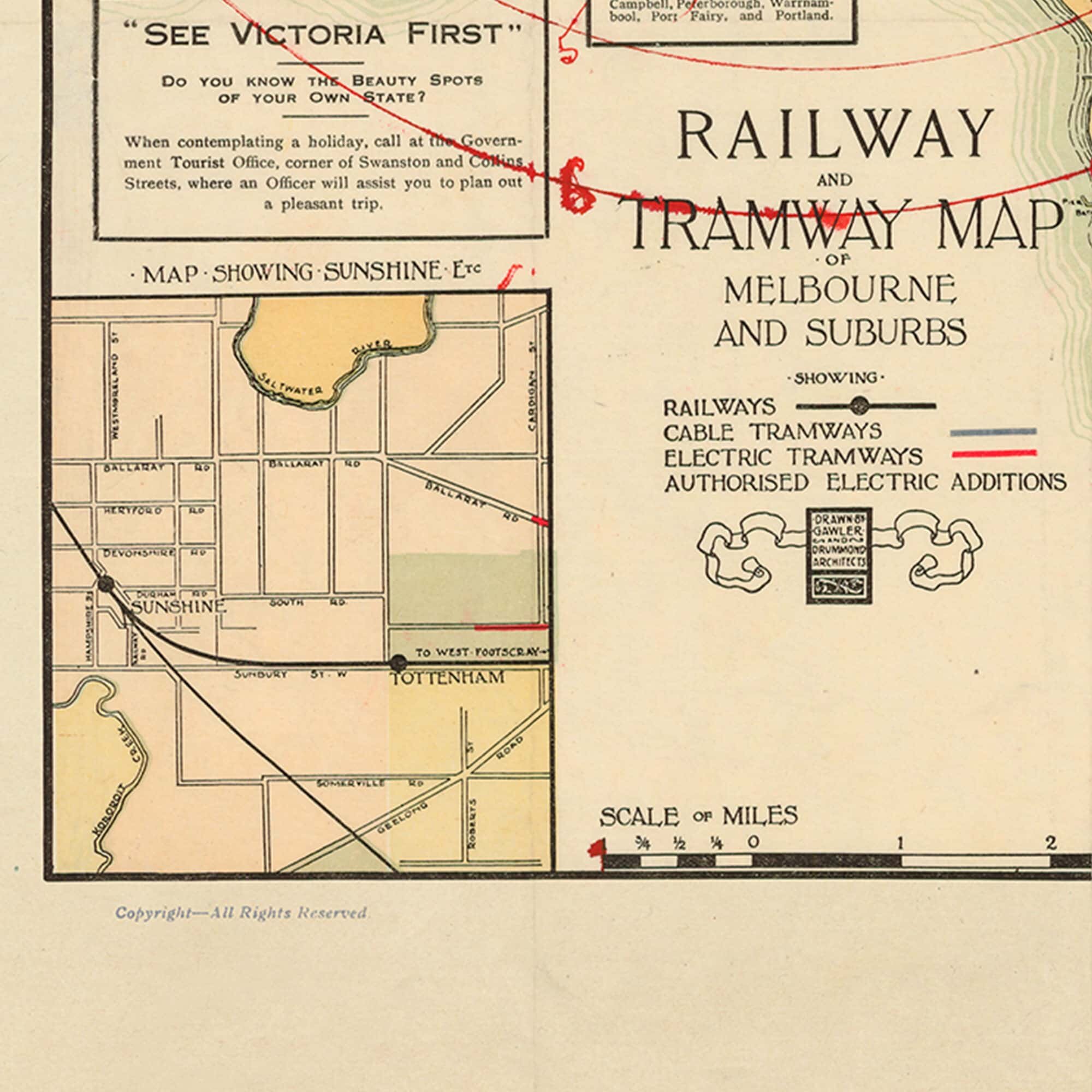 Image 5 of 6
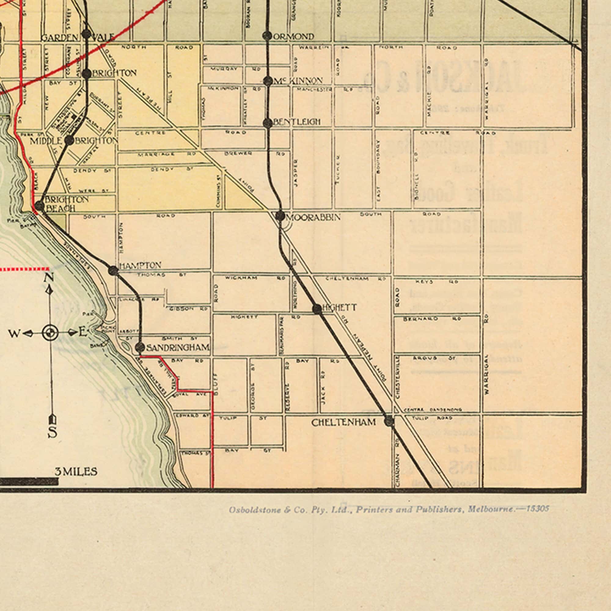 Image 6 of 6