Historical Parish of Cut Paw Paw, County of Bourke with edits from 1865 to 1952 - Framed A1 Print
This 1952 map is the last reproduction of the original Parish of Cut Paw Paw, County of Bourke, from the Department of Lands & Survey dated 1865. Although the central map remains largely unchanged, some estate and land changes were incrementally added to the edges until 1952. This map were completely redrawn after this edition as regular suburbs, dropping the Cut Paw Paw reference as the area evolved.
If you are a detail lover, then this is for you. Due to the volume of detail on this map, we recommend it be printed at the A0 size. There is a Sheet 3 available in the store which covers the Yarraville to Footscray section on it’s own.
A little history on the original. In 1840, Robert Hoddle (Yes, that street “Hoddle”) and his assistants surveyed the area and created the first accurate maps. The government then used these maps to divide the land into parishes and sections. The 1840s map was also the very first documented reference to the name Parish of Cut Paw Paw.
Some of the land owner names are still known today - notably John Holland and Charlse Spottiswoode (Spotswood), T. Chirnside, and E. Blackshaw.
See the original 1965 map here.
 Image 1 of 10
 Image 2 of 10
 Image 3 of 10
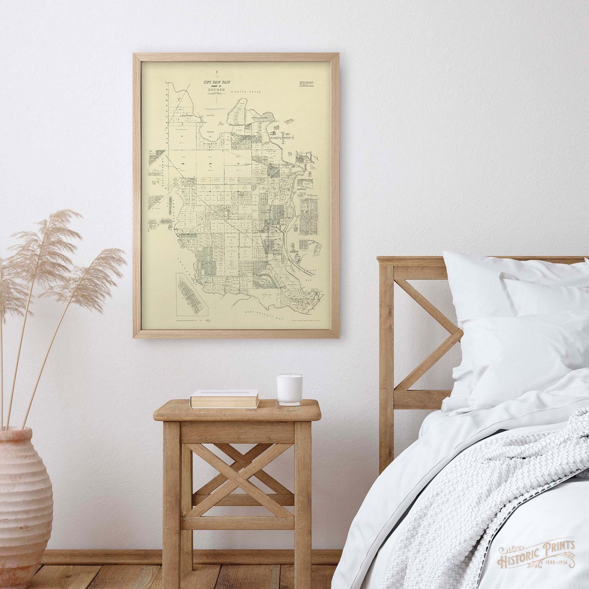 Image 4 of 10
 Image 5 of 10
 Image 6 of 10
 Image 7 of 10
 Image 8 of 10
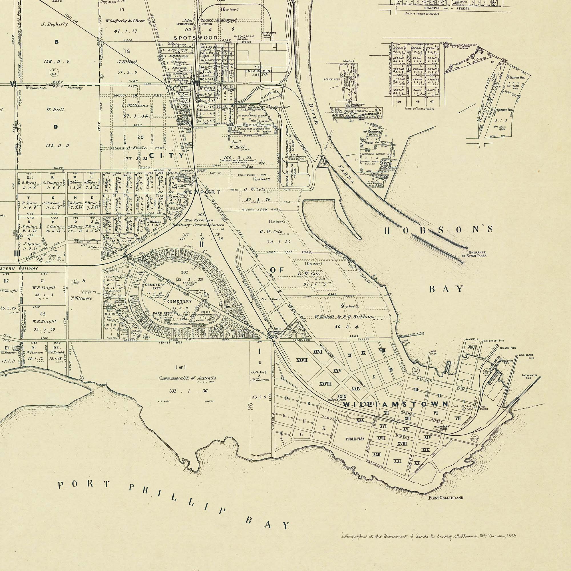 Image 9 of 10
 Image 10 of 10